Author: Vikas Kumar

  • What’s New in the Delhi Metro Expansion Plans (2025 Update)

    What’s New in the Delhi Metro Expansion Plans (2025 Update)

    Delhi metro
    Source: https://www.pexels.com/photo/gray-train-parking-in-train-station-1463008/

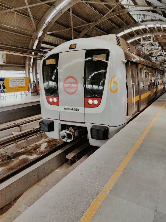
    The Delhi Metro Rail Corporation (DMRC) has been transforming the capital’s public transport landscape for over two decades. As of 2025, the metro network spans around 392 km with nearly 288 stations, making it one of the largest in the world. But that’s not where it stops — Delhi Metro Phase IV is in full swing, and major additions are set to shape how we travel across the city.

    Let’s dive into what’s new, what’s under construction, and how it impacts you.

    Phase IV – A Quick Overview

    Phase IV focuses on building six new corridors and extending key existing ones. These will add over 100 km of track and 45+ stations to the network. The goal? Reduce travel time, decongest major interchanges, and connect under-served areas. Here are the six major corridors and their current status:

    LineRouteLengthStationsStatusCompletion
    🔶 Golden LineAerocity – Tughlakabad23.62 km15Under ConstructionBy 2026
    🌸 Pink Line ExtensionMajlis Park – Maujpur12.56 km1080% CompleteBy 2026
    🟣 Magenta Line ExtensionJanakpuri W – RK Ashram Marg28.92 km22Under ConstructionBy 2026
    🟢 Green Line ExtensionInderlok – Indraprastha12.38 km10ApprovedBy 2026
    🟠 Gold Line ExtensionLajpat Nagar – Saket G Block8.39 km8ApprovedBy 2026
    🔴 Red Line ExtensionRithala – Narela – Kundli (Haryana)26.46 km21ApprovedBy 2028

    Why Does This Matter?

    • Faster Commutes: Direct routes mean less travel time. For instance, the Aerocity–Tughlakabad line will connect south Delhi to the Airport Express in one ride.
    • More Interchanges: 8 new interchange stations will reduce crowding at hubs like Rajiv Chowk and Kashmere Gate.
    • Cleaner City: More metro = fewer cars = less pollution.
    • Greater Reach: Narela, Saket G Block, Indraprastha — areas that were far from the metro grid will now have direct access.

    Highlight: The Red Line Goes to Kundli (Haryana)

    For the first time, the Red Line will cross into Haryana, extending all the way to Kundli in Sonipat. This project, approved in December 2024, will benefit thousands of daily NCR commuters and improve connectivity to industrial hubs.

    💰 Budget & Funding

    The Delhi Government allocated a record ₹2,929.66 crore in the 2025–26 budget for metro expansion — nearly 6x more than the previous year. Additional funding comes from the Central Government and loans from JICA (Japan International Cooperation Agency), ensuring smooth progress across all corridors.

    🔄 How Will It Change Your Travel?

    Imagine this:

    • No more switching three lines to get to Lajpat Nagar.
    • No more long detours to reach the Airport.
    • Shorter travel times from Rohini to Central Delhi.
    • New triple-line interchange stations like New Delhi and Lajpat Nagar will make it easier to get across the city.

    In short — you’ll spend less time commuting and more time living.

    🌐 External Resource

    For real-time updates and route maps, visit the official Delhi Metro Rail Corporation website.

    📝 Final Thoughts

    Delhi Metro’s Phase IV is more than just an infrastructure project — it’s a vision for a smarter, faster, and cleaner city. Whether you’re a student, office-goer, or tourist, the upcoming expansions will make your journey smoother than ever.

    As the tracks extend and stations rise, Delhi is racing toward a more connected tomorrow — one metro ride at a time.

  • There are 11 Districts in Delhi

    There are 11 Districts in Delhi

    Delhi, the vibrant capital of India, is divided into 11 administrative districts. Each district offers a distinctive mix of culture, history, lifestyle, and local attractions. This guide explores the essence of every district—its area, features, and places that make it stand out.

    1. Central Delhi

    Red fort in Delhi
    Source: https://www.pexels.com/photo/facade-of-the-lahori-gate-in-red-fort-in-delhi-india-14094276/

    Often referred to as the “heart of India,” Central Delhi is the city’s administrative and cultural core. Spanning just 25 square kilometers, it includes some of India’s most iconic landmarks such as the Red Fort, Jama Masjid, and the vibrant Chandni Chowk market. This district is also home to several government offices and a dense mix of residential and commercial areas, making it a historically rich and politically significant zone.

    2. North Delhi

    Area inside red fort

    Situated in the upper part of the city, North Delhi spans approximately 59 square kilometers and combines historical neighborhoods with student-friendly zones. It includes areas like Kashmere Gate—an old colonial outpost—and parts of Delhi University’s North Campus, giving it a strong academic flavor. Residential pockets such as Model Town, along with parts of Rohini, contribute to its balanced urban character.

    3. South Delhi

    Qutub Minar

    Covering a large area of approximately 250 square kilometers, South Delhi is one of the most affluent parts of the city. It is synonymous with greenery, elite residential colonies, and educational institutions. Landmarks such as the Qutub Minar, Hauz Khas Village, Lotus Temple, and Saket’s urban centers make this district a blend of history, heritage, and modern lifestyle, attracting both tourists and residents alike.

    4. East Delhi

    Bordering the Yamuna River and spread across 64 square kilometers, East Delhi is a primarily residential district. It includes neighborhoods such as Preet Vihar, Mayur Vihar, and Laxmi Nagar. The area is well-connected and known for its peaceful living conditions. Though largely residential, East Delhi also features prominent shopping and food streets that add to its charm.

    5. West Delhi

    Spanning 129 square kilometers, West Delhi blends tradition with commerce. It is home to bustling neighborhoods like Rajouri Garden, Janakpuri, and Punjabi Bagh, all of which are well-known for their shopping destinations, food hubs, and vibrant markets. The district offers a good mix of older neighborhoods and modern amenities, making it a well-rounded part of the city.

    6. North East Delhi

    North East Delhi, covering about 62 square kilometers, is one of the more densely populated districts. It includes urban and semi-rural neighborhoods like Seelampur, Karawal Nagar, Gokalpur, and Yamuna Vihar. The area has a vibrant community life and is known for its cultural diversity, with significant Muslim and Hindu populations. Though congested, it holds deep historical and social value in the city’s layout.

    7. North West Delhi

    This is one of Delhi’s largest and most populous districts, covering an area of 443 square kilometers. It encompasses a wide range of localities from the residential zones of Rohini and Pitampura to industrial pockets like the Badli Industrial Area. The mix of housing, commercial complexes, educational institutions, and industries makes North West Delhi a vital part of the city’s infrastructure and economy.

    8. South West Delhi

    South West Delhi spans 421 square kilometers and is known for its organized residential layout and expanding urban hubs. The district includes notable areas such as Dwarka, Najafgarh, Palam, and Vasant Kunj. Its location near the Indira Gandhi International Airport and presence of large residential complexes, markets, and educational institutions give it both convenience and significance. The district continues to evolve with infrastructural upgrades and emerging neighborhoods.

    9. South East Delhi

    South East Delhi, covering 102 square kilometers, is a dynamic and diverse district that comprises areas like Okhla, Kalkaji, Nehru Place, and Defence Colony. It features a combination of industrial zones, tech hubs, and academic institutions, making it a district of both business and culture. Its mix of middle-class neighborhoods and high-end developments reflects the varied character of urban Delhi.

    10. Shahdara

    Spread across 60 square kilometers, Shahdara is one of the oldest parts of East Delhi and still retains much of its old-world charm. Known for areas like Krishna Nagar and Welcome, it has narrow streets lined with traditional shops and old residential buildings. Despite urban growth, Shahdara continues to reflect the cultural legacy of the older parts of Delhi.

    11. New Delhi

    Source: https://www.pexels.com/photo/brown-concrete-india-gate-789750/

    New Delhi district, covering 42 square kilometers, represents the seat of the national government and includes grand avenues, administrative buildings, and diplomatic missions. It houses Rashtrapati Bhavan, Parliament House, India Gate, and embassies within the elegant surroundings of Lutyens’ Delhi. Created in 2012, New Delhi is the formal capital of India and symbolizes power, planning, and national identity.